Regional parks and park systems are a perfect response to the modern conundrum of creating dense urban fabrics where people can become increasingly isolated from nature. The scale of a regional park system means that it can encompass all or a large part of a metropolitan area, thereby enabling the selection of park lands that can transcend individual municipal boundaries and provide larger-scale regional benefits to urban dwellers. This is important because it means that regional-scale protected areas can encompass larger wild lands that are important for conservation purposes while still providing close-by public access opportunities.
It is almost astonishing that in the larger world of parks and protected areas management, regional park systems are not better recognized. Perhaps this reflects a preoccupation among some protected area circles about the relevance and contribution of international, national, or territorial level park systems in meeting ambitious commitments for protection of terrestrial and marine ecosystems, and in responding to climate change, biodiversity protection, landscape connectivity, invasive species, and historical/cultural recognition and inclusion. The voices engaged in these discussions are most often representatives of higher-level park systems. The result being that contributions of lower-level park and protected area systems are strikingly overlooked when it comes to accounting for the positive social, cultural, economic, and environmental outcomes that all levels of park systems provide.
A significant percentage of global parks and protected areas are embedded within local, community, and regional level park systems. These systems provide immense value and benefits to people and the environment. Leaving them out of higher-level considerations translates into an undercount when calculating the positive global impact of parks and protected areas to a burgeoning human population and diminishing natural environment.
In December 2016, I guest edited a special issue of the George Wright Forum with a focus on regional park systems. This was a first for the George Wright Forum, which historically has highlighted the contributions of national and international parks and protected areas. This issue was also important because it signals a growing recognition of the value of sub-national park systems as key partners in global efforts to protect enough land to help offset growing social and environmental strains the world over. In the case of regional park systems, the focus is on providing adequate green space close to where most people live, which increasingly is in large urban areas.
As noted, regional parks are usually associated with urban areas. Thus, they are close by to the people who use them. Unlike national or territorial parks, whose locations and governance systems can seem remote and disconnected from their constituents, regional parks systems are right where people live, creating a direct connection between politicians, tax dollars, agencies, and the public. Regional parks are representative of, and accountable to, the people who use them most—the feedback loop among all parties is immediate and responsive. This creates a huge advantage to regional park systems because the people who directly fund the parks directly benefit from the parks, creating a sense of ownership and local pride in a well-developed and well-used park system.
That being said, regional park systems are not all the same. A wide variety of models have been used to create and administer regional park systems. The articles in the December 2016 George Wright Forum issue explore some of these forms, which include single systems, collaborative systems, and systems that defy any typical definition of a regional park system. This flexibility is perhaps a key ingredient of the success of regional park systems—for while they are united by a relative geographic scale and focus, they are responsive and adaptive to local conditions and opportunities. There is no “one size fits all” when it comes to regional park systems.
Regional park systems are found around the world. Virtually every large metropolitan area has some form of regional park system. The rise of regional park systems goes hand in hand with the rise of cities and the growing concern over urban sustainability and quality of life. Urban sustainability and quality of life can be partially addressed by embedding green infrastructure throughout a metropolitan area. It can be arguably stated that there is no great city in the world without a correspondingly great green infrastructure network. This can be seen in cities such as Boulder, Chicago, Denver, Detroit, Los Angeles, Minneapolis-St. Paul, New York, Portland, San Francisco, and Seattle in the United States; Calgary, Ottawa, Toronto, Victoria, Vancouver, and Winnipeg in Canada; Berlin, London, and Oslo in Europe; Wellington and Auckland in New Zealand; Rio de Janeiro, Brazil; Cape Town, South Africa; and Hong Kong in China, among many other global cities. All these cities have in common a regional-scale approach to their parks and protected areas systems.
Regional parks provide many values that are particularly relevant to metropolitan areas, including socio-cultural, economic, and environmental. Examples of social values include the benefits of close contact with nature to reduce stress, aid in healing, increase cognitive skills, and contribute to individual and community health and wellness. There is ample evidence to support the idea that people need close and regular contact with nature for emotional and psychological well-being. Perhaps best popularized by Harvard University professor, E.O. Wilson in the Biophilia Hypothesis (1993, pg. 31), is the idea that humans are “hard wired” to need connection with nature and other forms of life. Cities and urban areas are well-positioned to provide this connection by thoroughly integrating nature into the metropolitan environment. Cultural values can be celebrated through regional parks, where parks protect and reflect important cultural identities that are place- and history-based. In this sense, regional parks can help to transcend socioeconomic and identity politics by providing meaningful and relevant public spaces where diverse members of society can feel at home. Well-maintained and situated green spaces can increase community cohesiveness by promoting interaction among neighbors in safe and accessible public environments.
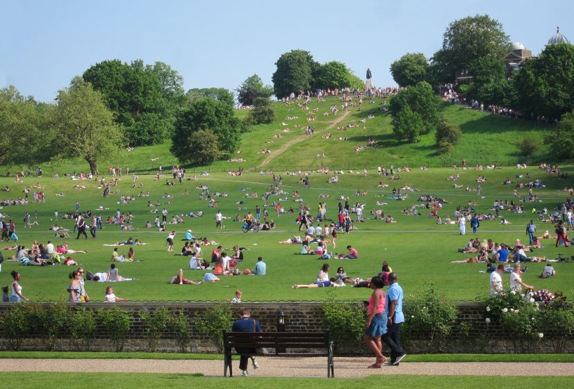
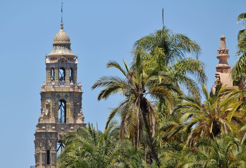
It has been repeatedly shown that parks and green spaces can raise surrounding property values, thereby contributing to urban economic prosperity (Catrakilis, 2015). The existence value of green space next to residential, commercial, and institutional properties is viewed positively and dwellings adjacent to parks and green space command higher prices, which in turn increases property taxes which helps to offset the cost of maintaining parks. Examples of increased property values can be found adjacent to any of the world’s great urban parks, such as Central Park in New York City or Golden Gate Park in San Francisco. Parks and green spaces contribute to spin off businesses, such as recreation and fitness providers, hotels, restaurants, and tourism. Signature parks, such as San Diego’s Balboa Park, and Portland’s Forest Park, are good examples of metropolitan area parks that have become major tourist destinations.
Regional parks contribute to environmental sustainability in large part through securing “natural capital” or “nature’s services”—or the suite of environmental benefits that nature provides for free. In urban areas, these benefits have tangible value. For instance, the establishment of greenbelts and protected forests, agricultural lands, wetlands, and other green spaces around cities such as Toronto and Ottawa has helped to protect essential ecosystem services like water filtration and wildlife habitat (2010, p. 9). In Vancouver, Canada, a natural capital valuation study determined that protection of forests, watersheds, wetlands, and grasslands provided a natural capital benefit of $5.4 billion a year (2010, p. 9).
These benefits can be secured by establishing robust regional park systems, where the benefits of nature protection can clearly outweigh the values through conversion into other uses. Regional parks and protected areas facilitate connectivity conservation, where core “wild” areas are linked by urban green infrastructure to support maintenance of biological diversity and species migration, and by helping to decrease habitat fragmentation, degradation, and loss. In sum, regional park systems provide immeasurable tangible and intangible benefits to urban areas across all dimensions.
Regional park systems: unique reflections of nature, people, and place
Clearly, regional parks are important contributors to human health and well-being, as well as to environmental and economic sustainability. The five contributing articles to the December 2016 George Wright Forum focused on different aspects of the values and benefits of regional park systems. They also illustrate a range of governance types and funding models which highlights just how flexible and adaptable this form of park system is. The unifying factor among them all is their geographic scope and urban focus.
The series of articles began with a contribution from Robert Doyle, General Manager of the East Bay Regional District (Regional District). The Regional District is situated in the densely populated San Francisco Bay Area, home to more than 2.8 million people. Established in 1934, the Regional District is one of the oldest regional park districts in the United States. Its beginnings are closely intertwined with the National Park Service, part of whose mandate was to foster the development of state and local parks, and to the progressive thinking and intellectual rigor of graduates coming out of U.C. Berkeley. For instance, in 1930, Frederick Law Olmsted Jr. and Ansel Hall produced a seminal report which provided a blueprint for the early park system which is still relevant today.
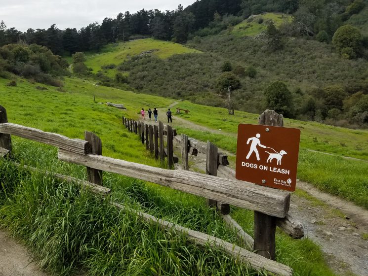
Currently, the Regional District manages over 121,030 acres in 73 parks in Alameda and Contra Costa counties, including over 1,250 miles of trails. With over 25 million visits each year, the Regional District receives more visitors than Yosemite, Monterey Peninsula, and Napa Valley combined. The Regional District faces significant challenges in uncertain times, including population growth and changing demographics, planning for climate change, responding to user conflicts, and maintaining aging infrastructure. The Regional District responds to these challenges through a variety of means including a focus on community engagement and youth outreach. The Regional District is also a major player in protecting wildlands and habitats for endangered species through land acquisition and partnering with state and federal wildlife agencies. The Regional District is heavily involved with preparing for climate change and sea level rise, helping to protect millions of people who are vulnerable to its effects. The Regional District is now a national role model; its success is based on over 80 years of working to protect regional landscapes and connecting people to those lands where they live.
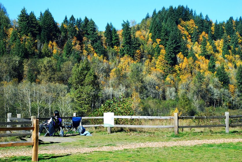
Another very successful regionally based park system was explored in the article by Mike Houck, Director of the Urban Greenspaces Institute, and co-founder of the Intertwine Alliance. Mike is a frequent contributor to The Nature of Cities, and also sits on TNOC’s Board of Directors. Mike’s article traced the incremental evolution of greens pace, park, trail, and natural resources planning in the Portland, Oregon-Vancouver, Washington metropolitan region over the past 35 years. Mike stated that in the early days he was told by local land use planners that there was “no place for nature in the city.” However, thinking along this line has shifted to the point where now urban nature advocates have embraced a 21st-century corollary to Thoreau’s aphorism that “in livable cities is preservation of the wild.”
This thinking has laid the groundwork for the development of a remarkable regionally-based parks and protected areas system, which is another national role model for sustainable urban development. Mike pointed out, even though the state of Oregon requires an Urban Growth Boundary for every city in the state (which has helped to reduce urban sprawl and protect the working landscape outside of urban growth areas), it has meant the loss of natural areas inside of the Urban Growth Boundary.
Fortunately, many conservation and civic organizations have retooled their efforts to protect and restore nature in the Portland and Vancouver metropolitan area. This has resulted in over 17,000 acres protected regionally and an increase in local parks. Mike provided a series of lessons learned during the development of the regional park system, including the importance of picking a good role model (they picked the East Bay Regional Park District), building relationships, engaging the federal government, thinking big, listening to outside experts, and selecting an icon as conservation catalyst. Mike ends his article by discussing the development of The Intertwine Alliance as the next step in ensuring that earlier successes are not ephemeral or “one-offs,” but coordinated around a common agenda. The Intertwine Alliance has been hugely successful in realizing its founders’ vision of creating a world-class system of parks, trails, and natural areas for people to access nature where they live, work, and play.
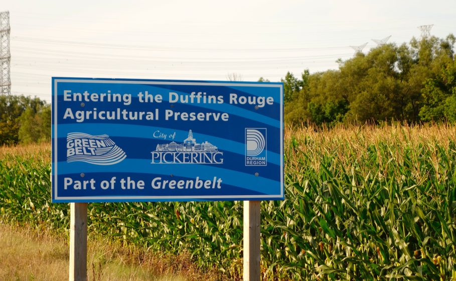
A much different regionally-based park system was discussed by Burkhard Mausberg, the former CEO of the Friends of the Greenbelt Foundation and the Greenbelt Fund in Toronto, Ontario, Canada. Burkhard talked about the success of Ontario, Canada’s Greenbelt, a 2-million-acre swath of green space and farmland encircling the greater Toronto urban area. According to Burkhard, the Greenbelt turned 12 years old in 2017, and it is now the world’s largest peri-urban protected area. Burkhard wrote that the creation of the Greenbelt was the result of growing frustration with land use planning in the Greater Toronto Area. The public recognized the negative impacts of poor development and the loss of green space and farmland, and in 2005 the provincial Greenbelt Act and Plan was passed with much fanfare. Today, the Greenbelt stands as an outstanding example of far-sighted regional planning and its power to shape the landscape for generations to come. Burkhard detailed the many benefits of the Greenbelt, including as an economic powerhouse for the region through its 161,000 jobs in farming, tourism, and recreation.
While not a typical regional park system, the Greenbelt protects more than 70 species at risk, hundreds of rivers and streams, thousands of forested acres, and outstanding biological diversity just miles from Canada’s most populated urban area. Some of the other benefits of the Greenbelt include its contribution to protecting ecological services, estimated to be worth a conservative $3.2 billion a year, or $1,600 per acre.
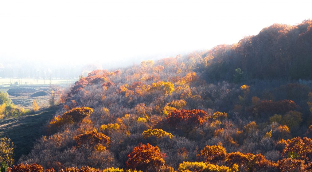
The Greenbelt also features the largest network of hiking trails in Canada, including the world-famous 725-kilometer-long Bruce Trail, which follows the Niagara Escarpment across cities, towns, farmland and conservation areas. Plans for the Greenbelt include growing it by more than 1.5 million acres; a good start towards realizing this vision was made in May 2017 with the protection of 21 major urban river valleys and associated coastal wetlands across the Greater Toronto Area. The Greenbelt stands alone as a shining example of the power of regional landscape protection that is flexible and responsive in providing value to people where they live.
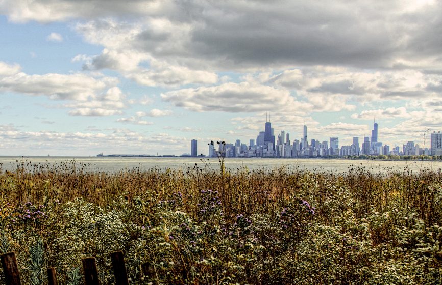
A fourth article was written by Harry Klinkhamer, a park interpreter and historian who worked in the forest preserves of Chicago Wilderness for many years. Harry traced the evolution of park planning and development in the Chicago metropolitan area since the 1830s. His article provides an in-depth glimpse into the complexities and thinking behind the creation of one of the world’s greatest regionally-based parks and protected areas system. The genesis of Chicago Wilderness can be traced back to the city’s founding in the 1830s when the idea of a “city in a garden” was born. As Harry points out, Chicago has been home to “rather progressive and unconventional approaches to parks and wilderness for well over 100 years.”
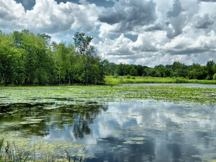
Today, the Chicago urban area does not have one overarching regional park system, but rather its park space is managed by hundreds of park districts, many county forest preserve districts, the state and federal governments, and Chicago Wilderness. Harry outlined a fascinating history of the development of this complex parks and protected areas network. More recently, in 1996, a group of individuals from 34 different agencies met to help define urban wilderness and develop a comprehensive plan to preserve, restore, and educate the public about nature. A common theme was the realization that ecosystems know no political boundaries and it would take a committed coalition to improve biodiversity and the natural landscape of the Chicago region. Out of this conversation, Chicago Wilderness was formed, whose purpose was to “sustain, restore, and expand our remnant natural communities.” Today, Chicago Wilderness is a model for other major urban areas to emulate. Its members include local, state, and federal agencies; business sector partners; non-profit organizations; and research institutions. This unique partnership works because the community sees Chicago as essentially a nature reserve of over 370,000 acres intimately integrated into a large urban area home to millions of people.
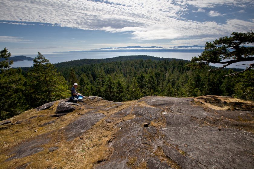
The final article in the series was written by Dr. Mike Walton, Senior Manager of Regional Parks in the Capital Regional District (CRD), Victoria, British Columbia, Canada. Mike wrote about the importance of regional parks to urban populations due to their proximity and accessibility. Regional Parks, according to Mike, provide important opportunities for urban dwellers to visit nearby wilderness areas, which are also home to a great diversity of plant and animal species. Mike described the CRD regional parks system, noting that the 31 regional parks and three regional trails protect about 13,000 hectares of land that are home to three large carnivore species: black bear, wolf, and cougar. Including the region’s protected watershed, the CRD owns and protects almost 14 percent of the regional land base. When all levels of protected areas in the region are included, almost 20 percent of the land base is protected. This is a significant achievement, and this percentage is expected to increase over the next number of years through CRD Regional Parks’ land acquisition fund.
Mike notes that unlike the U.S. and Canadian national park systems, the CRD regional parks system is experiencing sustained visitation growth. At least some of this increase in visitation can be attributed to increasingly urban, multicultural, and ethnically diverse populations. However, he remarked that these populations might think differently about near urban wilderness and its importance. Some may be hesitant to visit landscapes that are home to large carnivores, which puts a renewed emphasis on providing a broad range of experiences to attract non-traditional park visitors.
Mike also talks about the role of regional parks as a bridging organization between local and state/provincial/federal protected area systems. In this sense, park interpreters and social scientists can provide essential information gathering and dissemination services to better serve park visitors and park agencies. Mike discusses the important role of regional park systems in helping to achieve global commitments for the conservation of nature, and in linking together fragmented landscapes into interconnected matrixes. Finally, Mike posits that the location of regional parks as backyards to millions of city dwellers represent that nexus where people can reconcile their beliefs about wilderness to benefit non-human species for generations to come.
The beauty of regional parks
Recognition of the value and benefits of regionally-based park systems is growing. The benefits span ecological, spiritual, emotional, physiological, psychological, economic, cultural, and sociological realms. As more and more people crowd into urban areas, the need for regular contact with nature has never been greater. Increasingly, progressive land use planners, politicians, civic leaders, academics, ecologists, conservationists, urbanists, and others are working on ways to make cities sustainable and great places to live, work, and play. This assimilation of thought and practice has never been as necessary as when it comes to fully integrating the built and unbuilt environment within metropolitan areas.
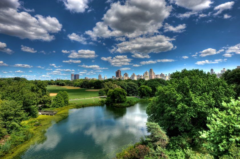
Humans need regular, sustained, joyful, nourishing, daily contact with nature, and where better to provide that contact than where most people spend most their lives—in urban areas. Regional park systems can play a vital role in bringing nature to people by creating green spaces where people can escape the daily urban grind, even if for only a few minutes or hours.
There are many outstanding examples of cities around the world who are taking up this challenge and creating more inviting, sustainable, humane spaces that benefit both people and the environment through the development of regional park systems. As the articles in the December 2016 issue of the George Wright Forum highlight, the adaptability and responsiveness of regional park systems to local circumstances and constituents is a key to their success, and one reason why they are becoming increasingly important and relevant to city living. Perhaps the aim for all great cities should be to create “Urbs in Solitudinem” or “Cities in Wilderness” as the title of Harry Klinkhamer’s article posits. Regional parks are certainly key to achieving this grand and beautiful vision.
Lynn Wilson
Vancouver
Banner Photo:
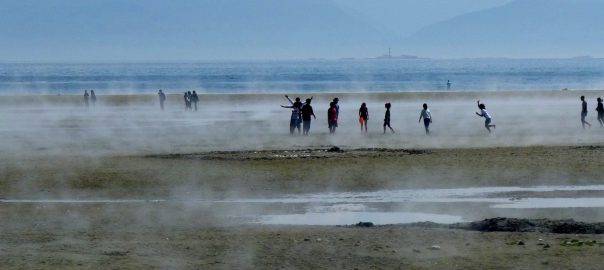
Wittys Lagoon Regional Park, Victoria, British Columbia, Canada. Photo: © Bev Hall.
Notes
- The George Wright Society, founded over 35 years ago, is dedicated to building the knowledge needed to protect, manage, and understand parks, protected areas and cultural sites around the globe (https://www.georgewrightsociety.org/).
- The George Wright Forum issue referenced in this essay is Volume 33, #3, 2016. It can be accessed in its entirety at http://www.georgewright.org/forum_issues.
References
Catrakilis, N. (2015). Literature Survey: Green Space and Property Values. Urban Economics, Duke University. Accessed January 15, 2018 at: https://sites.duke.edu/urbaneconomics/?p=1441.
Kellert, S.R. (ed.) (1993). The Biophilia Hypothesis. Island Press. ISBN 1-55963-147-3.
Wilson, S.J. (2010). Natural Capital in BCs Lower Mainland: Valuing the Benefits from Nature. Davis Suzuki Foundation, Vancouver, Canada.




Lynn Wilson is one of the top park planners and public lands managers I’ve encountered.
She has two relevant masters degrees and nearly 20 years experience.
Her orientation towards preserving the rare, threatened, endangered and disappearing ecosystems, flora, and fauna in the CRD parks district while providing ample places for low-impact recreation is stellar and rare.
Further, she’s a very pleasant, articulate, fair, and honest person who deals with the public in ways that increase the public’s appreciation for CRD parks.
CRD is fortunate to have her on their team.
Outstanding review and identification of opportunities to better integrate protected areas across geopolitical landscapes,made all the more powerful by the excellent use of images.