

ESSAYS | POINTS OF VIEW
-
Giving Space to the More-than-Visible: Spirituality, Ecology, and Urban Resilience from a Cultural Perspective
”Maybe we should acknowledge the invisible. It’s not somewhere else. It’s in the visible, right here. If this elemental air were not invisible, I wouldn’t see anything else,…
-
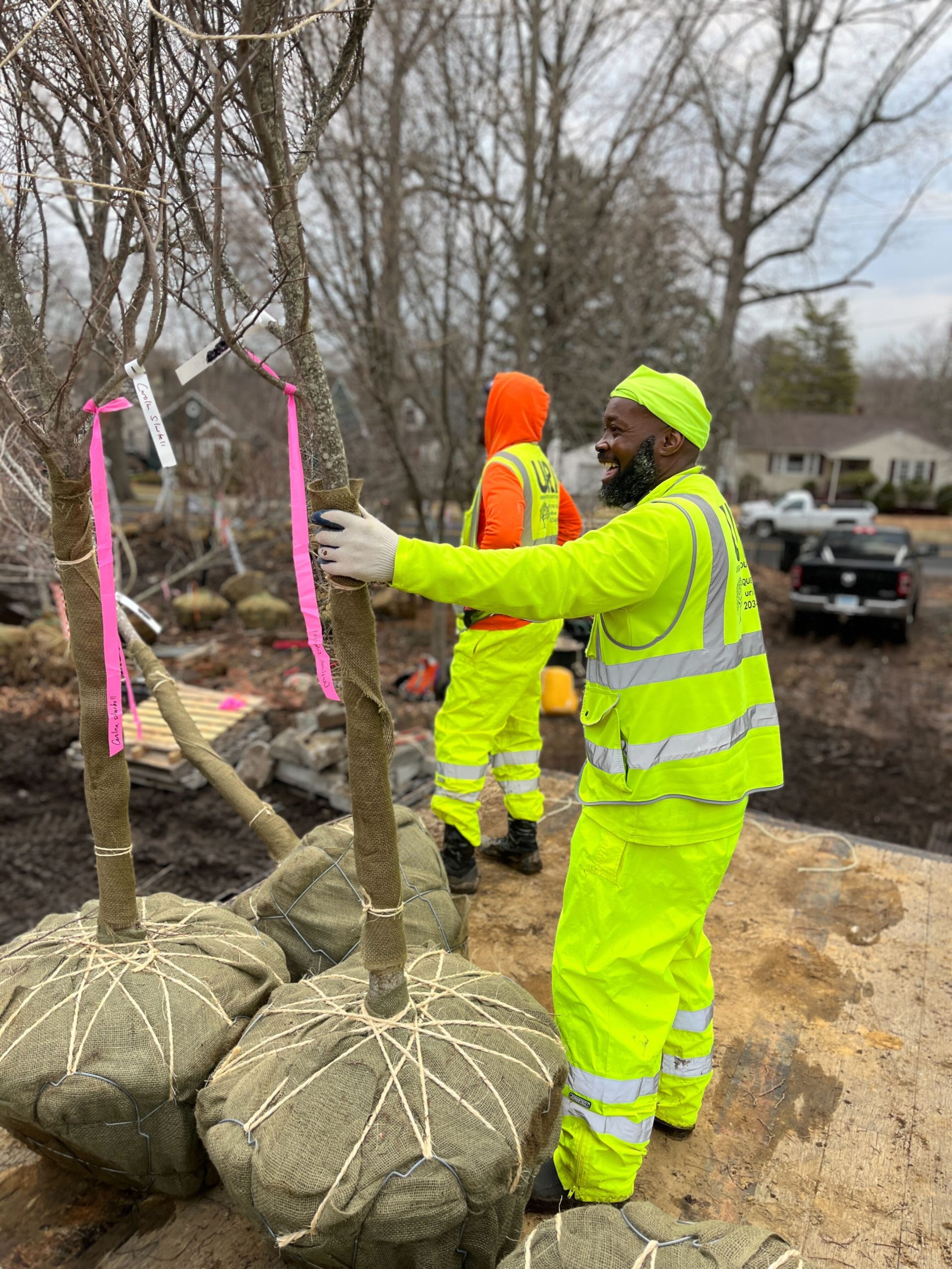
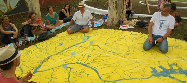
Three Tree Communities in New Haven
Trees ― living, dead, and transformed ― play roles in the lives of three communities in New Haven, CT. Because trees themselves have life cycles, interact with other…
-
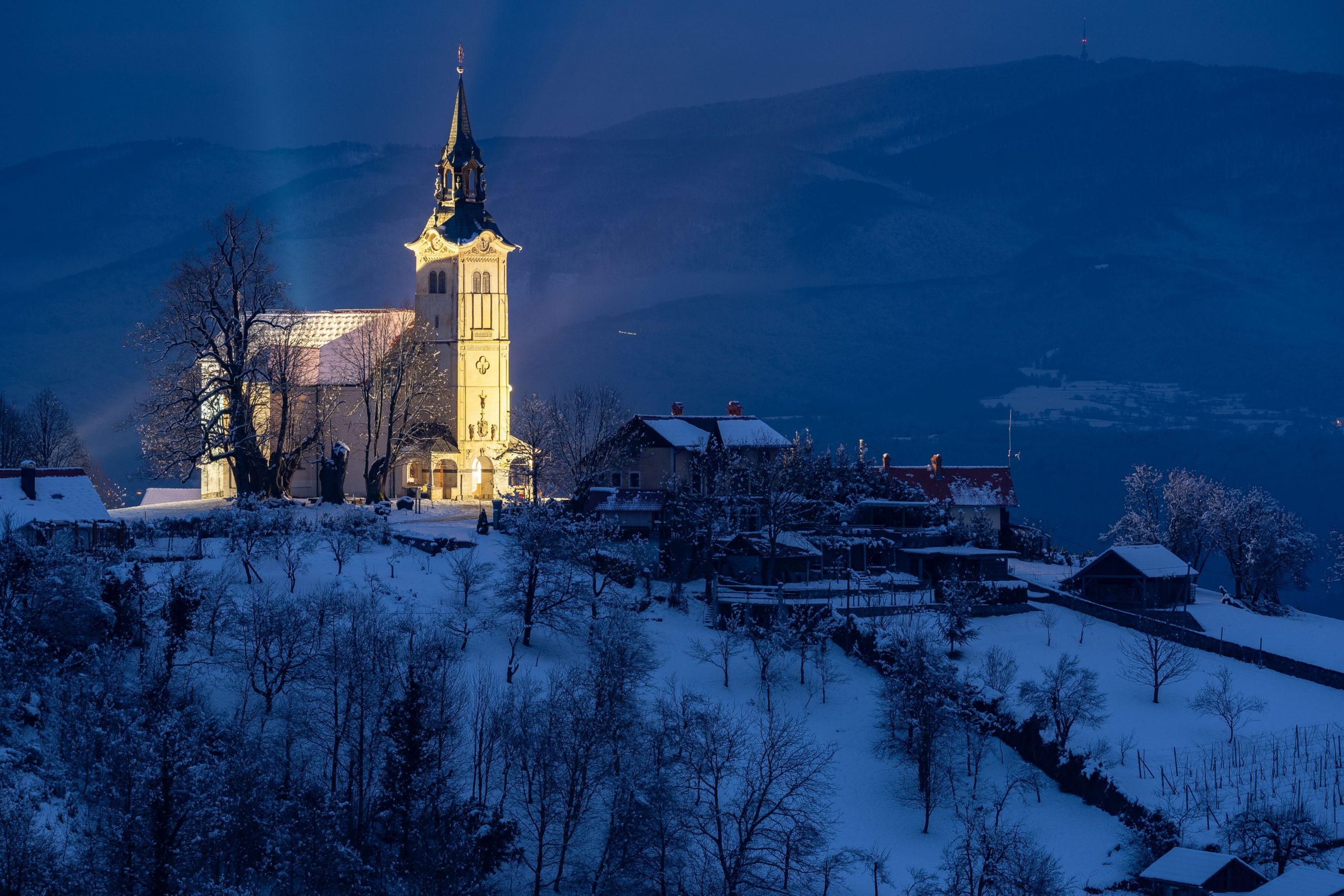
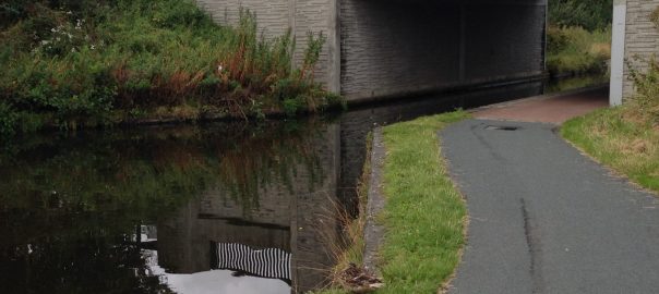
Why Do Humans Need Darkness? Light, Imagination, and the Human Rhythm of the City
For most of human history, darkness was not an exception in urban life. It was part of the ordinary condition of inhabiting the world. Nighttime framed resting, shaped…
TNOC’S MISSION
Cities and communities that are better for nature and all people, through transdisciplinary dialogue and collaboration.
We combine art, science, and practice in innovative and publicly available engagements for knowledge-driven, imaginative, and just green city making.
ROUNDTABLES | GLOBAL DISCUSSIONS
SUPPORT BETTER CITIES,
JOIN OUR NETWORK OF DONORS…
REVIEWS | ART, BOOKS & EVENTS
-
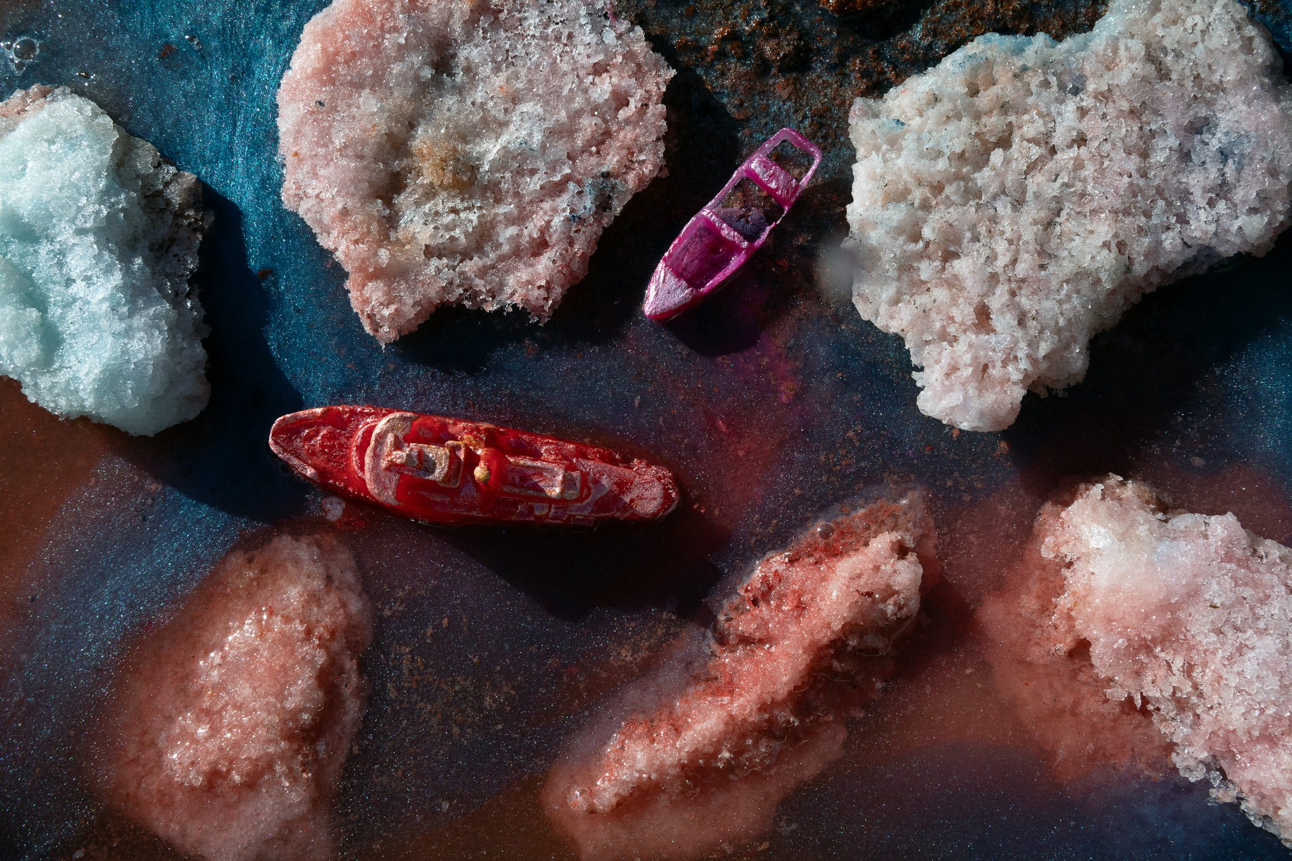
What Remains?
A review of Ghost Ships and Mourning Doves, a multimedia art exhibition by Robin Lasser and Sydney Brown, on view October 1 ― December 13, 2025 at Chung…
-
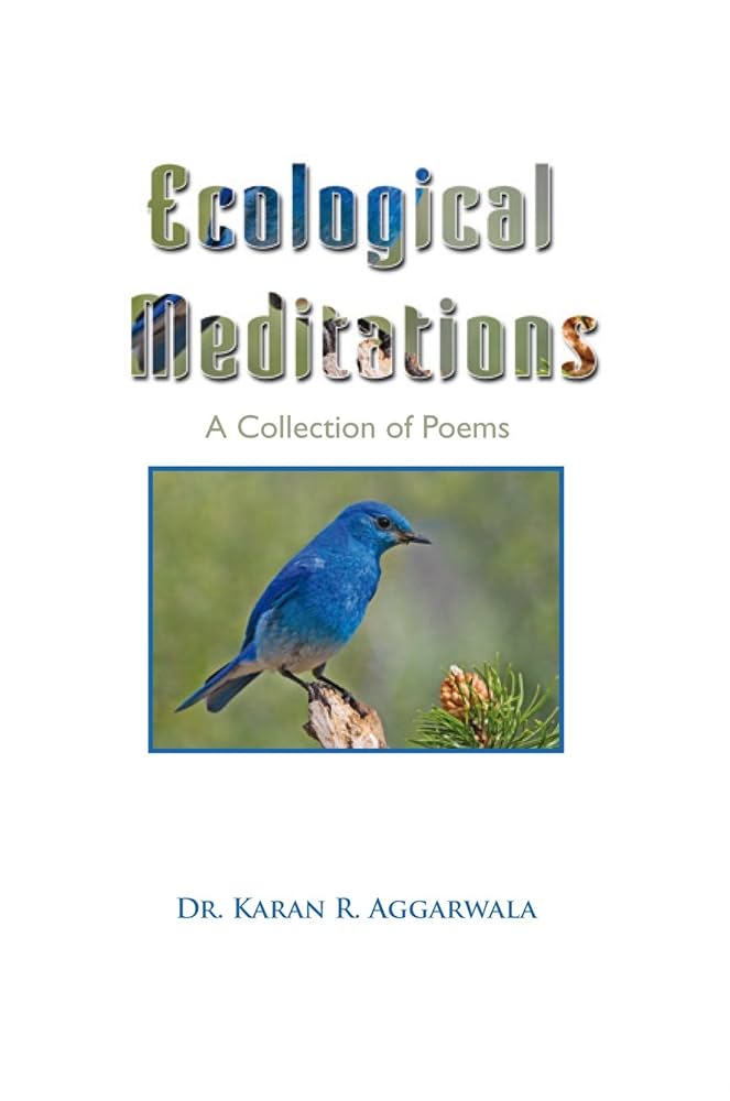
My Past, Present, and Future: A Review of Ecological Mediations
The sciences meet the arts in the poetic renderings of Dr. Karan Aggarwala’s 2010 collection, Ecological Mediations(Xlibris). An optometrist by training, Dr. Aggarwala’s poetic view of the world…
-
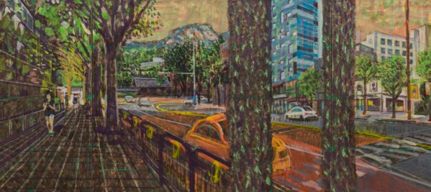
Nature in Korea’s Capital: The Magic Stops at the Car Bridge
A review of Min Joung-Ki, an exhibition of large-scale urban nature paintings at Kukje Gallery in Seoul, South Korea. Founded in 1982, Kukje Gallery is one of Korea’s…
-
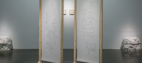
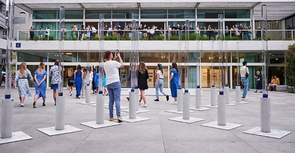
Cloud Cities, Melting Cities: A Review of Yumiko Ono’s “Epitomes” at Museum of Contemporary Art Taipei
A review of “Epitomes,” an exhibition by Yumiko Ono, on view at Museum of Contemporary Art (MOCA) in Taipei through 2 February 2020. Situated a few blocks from…
PROJECTS | ART, SCIENCE & ACTION, TOGETHER

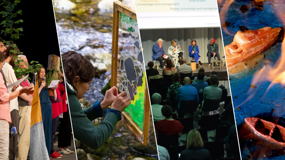
TNOC FESTIVAL
The Distance
Between Dreams
and Reality
is Action
The Nature of Cities Festival, is an event that uniquely blends elements of a conference, art exhibition, and retreat, all centered on urban nature.
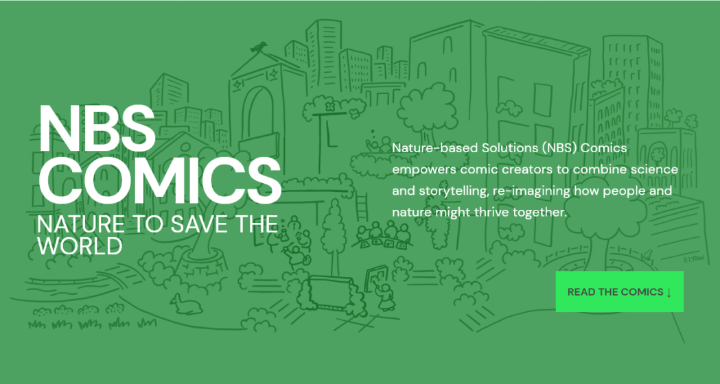
NBS COMICS: NATURE TO SAVE THE WORLD
26 Visions for Urban Equity, Inclusion and Opportunity
Now a global project with over ONE MILLION readers, we invite comic creators from all over the world to combine science and storytelling with nature-based solutions (NBS).
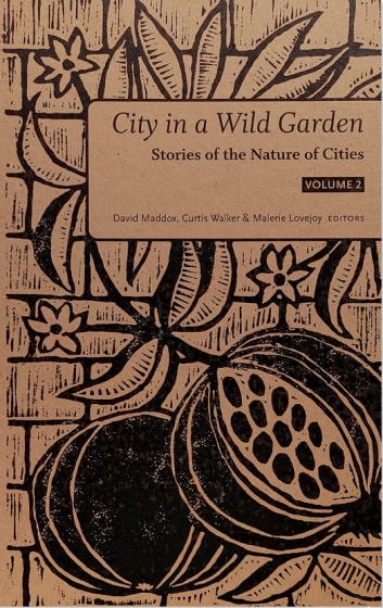
STORIES OF TNOC: VOLUME 2
new Collection of Flash Fiction
Cheeky monkeys, vertical farms, climate change, and tree tribunals. Our latest collection features 49 short stories from 20 countries that radically re-imagine city life.
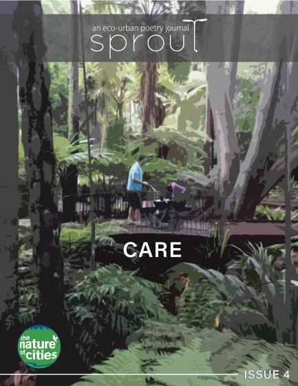
SPROUT POETRY JOURNAL
ISSUE 4: CARE
This latest issue includes works that interrogate the modes of engaging with others in (urban and natural) space that can speak to the interrelated dimensions of care.
JOIN THOUSANDS OF READERS
AROUND THE WORLD…
MORE TNOC PROJECTS | ART, SCIENCE & SOCIAL JUSTICE
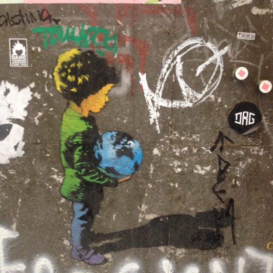
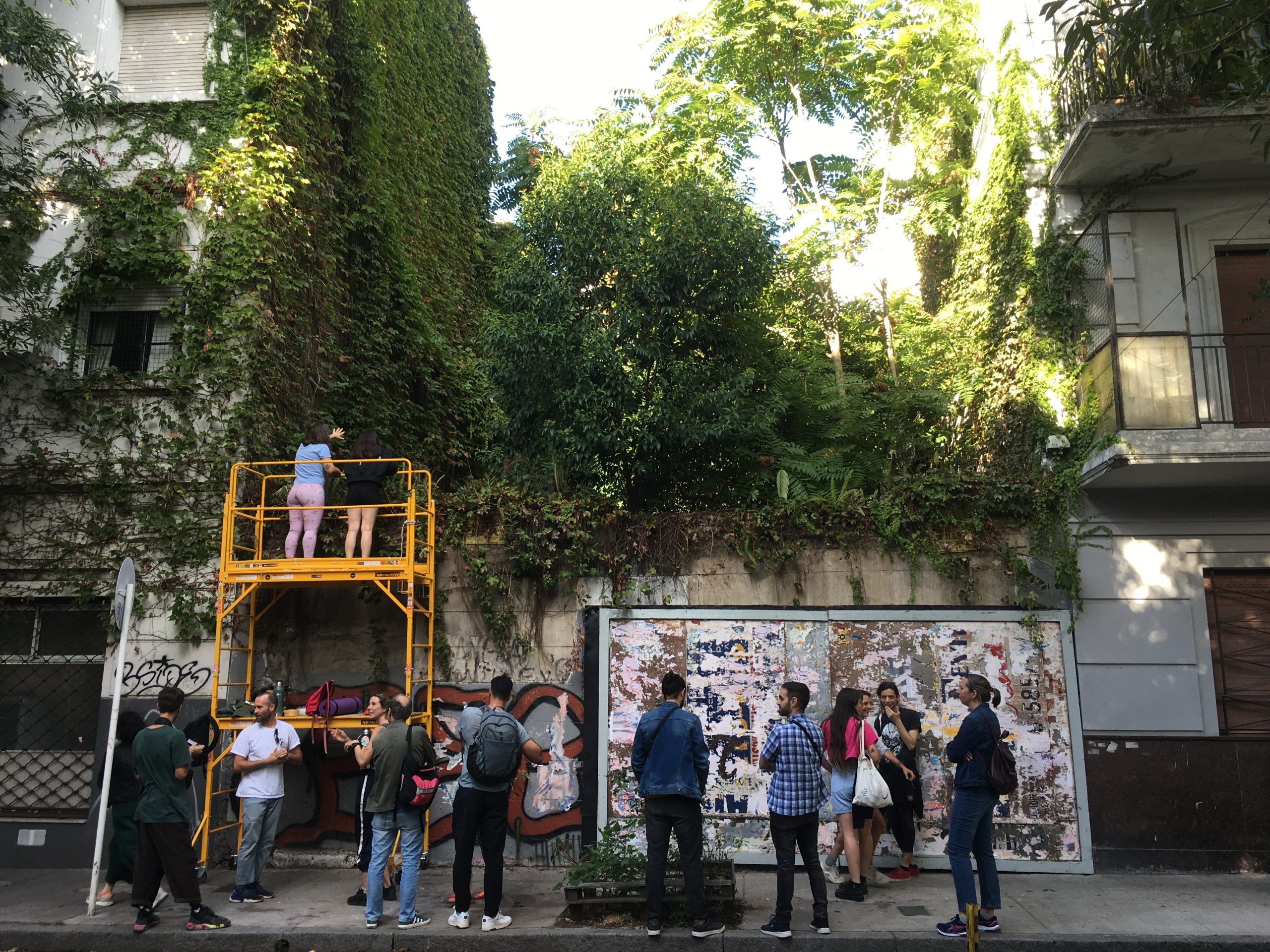
THE NATURE OF GRAFFITI
This is the nature of graffiti. It facilitates speech. It speaks to us. It stakes claims and makes statements. It tells stories.
The Nature of Cities hosts a public gallery about the graffiti and street art that motivates us in public places.
the roots of cool
As the world warms up, how are you thinking about the role that trees and shade can play in making your city or region livable?
Read and listen to the stories in this global collaboration between The Nature of cities & Descanso Gardens.
THE JUST CITY ESSAYS
26 Visions for Urban Equity, Inclusion and Opportunity
Produced by The Nature of Cities, together with The J. Max Bond Center, and Next City, we ask what would a just city look like, and what could be strategies to get there?
network nature+
A resource for the Nature-based Solutions (NbS) community
Creating opportunities for local, regional and international cooperation to maximize the impact and spread of Nature-based Solutions.